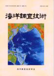
水深値による地球表面の地形図
(Relief of Surface of the Earth, World Data Center a for Marine Geology and Geophyscs Report MGG-2 Sheet 2)
の太平洋周辺部分を抜粋した。
ディジタルイメージとデータベースは、米国海洋大気庁国立地球物理データセンター (National Geophysical Data Center, National Oceanic and Atmospheric Administration, US Department of Commerce) による。
